Product Overview
Lake Erie-Central Basin-West Oh

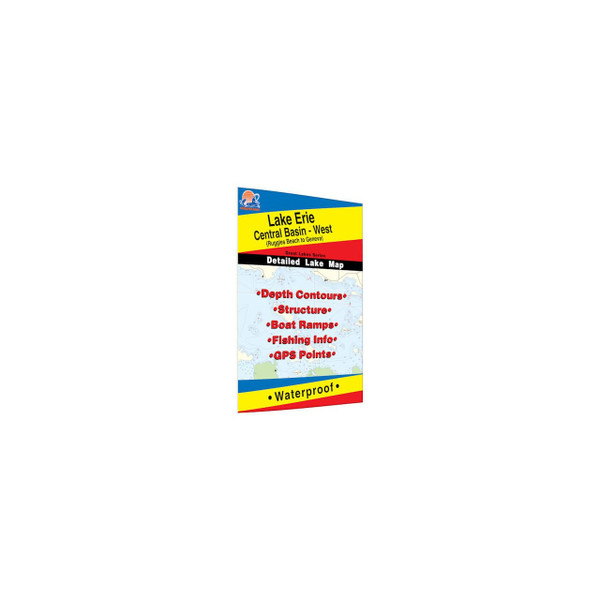
Unlock the secrets of Lake Erie's Central Basin West with the Fishing Hotspots "Lake Erie-Central Basin-West Oh" waterproof map. This detailed chart covers the waters from Ruggles Beach to Geneva, Ohio, providing you with the crucial information you need to navigate and locate prime fishing spots with confidence. Don't waste time searching blindly—this map puts you directly on the fish, maximizing your time on the water and increasing your chances of landing that trophy walleye or smallmouth bass. Whether you're a seasoned angler or new to Lake Erie, this map is your key to a successful fishing adventure.
Key Features
- **Unmatched Detail:** Features depth contours, structure identification, and locations of boat ramps, giving you a comprehensive understanding of the underwater terrain.
- **Proven Fishing Hotspots:** Clearly marked fishing areas highlight 19 proven fishing points of interest, directing you to where the fish are most likely to be found.
- **Targeted Species Information:** Includes valuable fishery information and fishing tips specific to Lake Erie's Central Basin West, focusing on prized species like walleye and smallmouth bass.
- **GPS Compatible:** Integrated GPS information allows seamless coordination with your fish finder or GPS unit for precise navigation.
- **Access Information:** Offers driving directions to 15 key access points, simplifying your trip planning and getting you on the water faster.
- **Durable & Waterproof:** Constructed from waterproof material, this map withstands the rigors of the marine environment and remains readable even in wet conditions.
- **Convenient Size:** Opens to a generous 24" x 36" for easy viewing and folds down to a compact 6" x 9" for convenient storage.
- **Part of a Comprehensive Set:** This map is part of a 3-map set covering all of Lake Erie, allowing you to expand your fishing territory with ease.
What's in the Box
- Lake Erie - Central Basin West (Ruggles Beach to Geneva, OH) Fishing Map
Specifications
The Captain's Take
As a charter captain on Lake Erie, I rely on accurate and detailed information to put my clients on the fish. The Fishing Hotspots maps have been an invaluable tool for years. The "Lake Erie-Central Basin-West Oh" map, in particular, provides the level of detail I need to navigate efficiently, locate key structure, and ultimately, increase our catch rate. It's a must-have for any angler serious about fishing this productive section of Lake Erie.


