Product Overview
Detroit River Mich

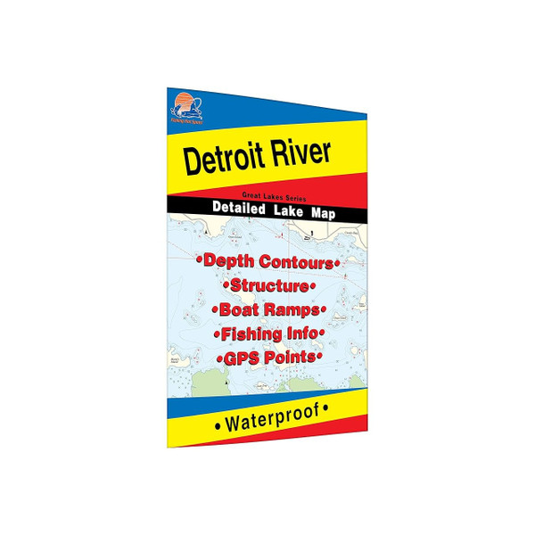
Unlock the legendary fishing grounds of the Detroit River with the Fishing Hotspots "Detroit River Mich" map. This indispensable tool transforms your on-the-water experience, guiding you to trophy walleye, plentiful white bass, and schools of yellow perch. Navigate the 32-mile stretch with confidence, knowing you have the precise locations of proven fishing areas, access points, and vital waterway information at your fingertips. Maximize your fishing time and bring home the bragging rights with this detailed, durable, and easy-to-use fishing map.
Key Features
- **32 Miles of Coverage:** Covers the entire Detroit River leading up to Lake Erie, ensuring you have access to all the prime fishing locations.
- **Proven Fishing Areas:** Clearly marked locations of 32 proven fishing hotspots, taking the guesswork out of finding fish.
- **Access Points & Directions:** Includes 20 access points with detailed driving directions, simplifying your journey to the water.
- **Lake Profile & Fishery Information:** Provides essential lake profile data and valuable fishery information for a better understanding of the ecosystem.
- **Fishing Tips & Techniques:** Offers expert tips and techniques tailored to the Detroit River, increasing your chances of a successful catch.
- **GPS Information:** Integrated GPS coordinates allow for seamless navigation and precise location identification.
- **Durable and Waterproof:** Printed on tear-resistant synthetic material, ensuring your map withstands the rigors of the marine environment.
What's in the Box
- Detroit River Fishing Map
Specifications
The Captain's Take
As a charter captain on the Detroit River, I wouldn't leave the dock without my Fishing Hotspots map. It's more than just a map; it's a strategic advantage. The detailed bathymetry, clearly marked fishing areas, and access information save me valuable time and fuel. Knowing exactly where to go puts more fish in the boat and happy clients on my deck. Trust me, this map is a game-changer.


